


I did it! A total slam dunk on my September forecast as I capped off my August review for you a month ago! After several consecutive months of having the rug pulled out from under my forecast, the early call for a September that was both warmer and wetter than average verified nicely with little surprise.
Let’s pivot away from my celebration and break it down a little bit…
September finishes 5 degrees warmer than average, with an average temperature of 71.2 degrees. That’s the daily mean temperature; the average high temperature for the month of September was 82.3 degrees.
We saw 4.72″ of precipitation in September, which tops the average of 3.13″ by over an inch and a half.
So how did we get here? The warmth came in two obvious chunks with much of our precipitation coming in a few heavy doses as well. We began the month very warm, with consecutive days with high temperatures above 90 degrees from September 2nd through 5th. We then cooled off a bit hovering right around average for the next week or so. 90 degree weather returned on September 14th, and we remained 10 or more degrees above average from the 14th through the 20th. Those two periods (September 2-5 and 14-20) were almost entirely repsonsible for pushing the month into the well-above-average category.
We topped our monthly precipitation average by over an inch and a half (4.72″ total; 1.57″ over the average) and yet we only saw measurable rainfall on 6 of 30 days in September. Rain and thunderstorms associated with the remnants of Tropical Storm Gordon dropped 3.48″ in Champaign-Urbana September 7th through 9th. In those three days we surpassed our monthly average, so everything from there was surplus. We dried out for an extended time after that, not measuring any rainfall in the twin cities September 10-20. That streak was only broken by a measely 0.01″ that fell on the 21st. Ignoring that, it barely rained a drop in the two weeks from September 10th through 24th. Another 1″+ fell on September 26th which gave us the extra nudge above 4″.
So September was warmer and wetter than average. What’s in store for October?
Another warm month, I’m afraid. We’re off to a warm start, and the next 7 to 10 days look mostly warm as well. A frontal boundary is forecast to meander back and forth across the region during that time period and while we’ll largely be on the warm side of that boundary, we’ll spend a day here or there in rather chilly territory. So we’ll say October 1-15 tends to run on the warm side. Beyond the 15th things get a bit unclear.
The suggestion from long-range guidance is for an active period to commence with periodic storm systems bringing strong but seasonably appropriate cold fronts through the area. Do we get enough cooler air in late October to compensate for a warm start? Not likely. I think October 16th through 31st runs a bit on the cool side, but I’m not convinced we suddenly pivot to all-out cooler autumn weather. Not yet, anyway. As such, I think October concludes a degree or two on the warmer than average side.
Precipitation is a bit more tricky, and for a few reasons I’m going to favor a month that is closer to average. The next week or two have the potential to produce flooding rains in parts of the Midwest, across Iowa, Wisconsin, Missouri, and northern Illinois. We’ll get in on some of that, but the heaviest rain by far will remain off to our northwest. The last half of the month is again a bit unclear. How many storm systems do we actually see? How many of those strong cold fronts light up with showers and thunderstorms and how many pass without a trace? I don’t see any suggestion that we’ll dry out completely, but I also don’t see any reason to call for those flooding rains to shift into our backyard.
So there you have it. As I make my push for a second consecutive A+ monthly outlook, look for an October that’s a little warmer than average with near average precipitation. The average daily mean temperature for October is 53.9 degrees, and average precipitation for October is 3.26″ in Champaign-Urbana.
Andrew operates Chambana Weather, where he publishes daily weather information for Champaign-Urbana and surrounding communities. He is also an agricultural meteorologist with Agrible, Inc. at Research Park, focused on domestic and international weather and its impact on ag.
Champaign-Urbana monthly climate statistics are courtesy of the Illinois State Water Survey.
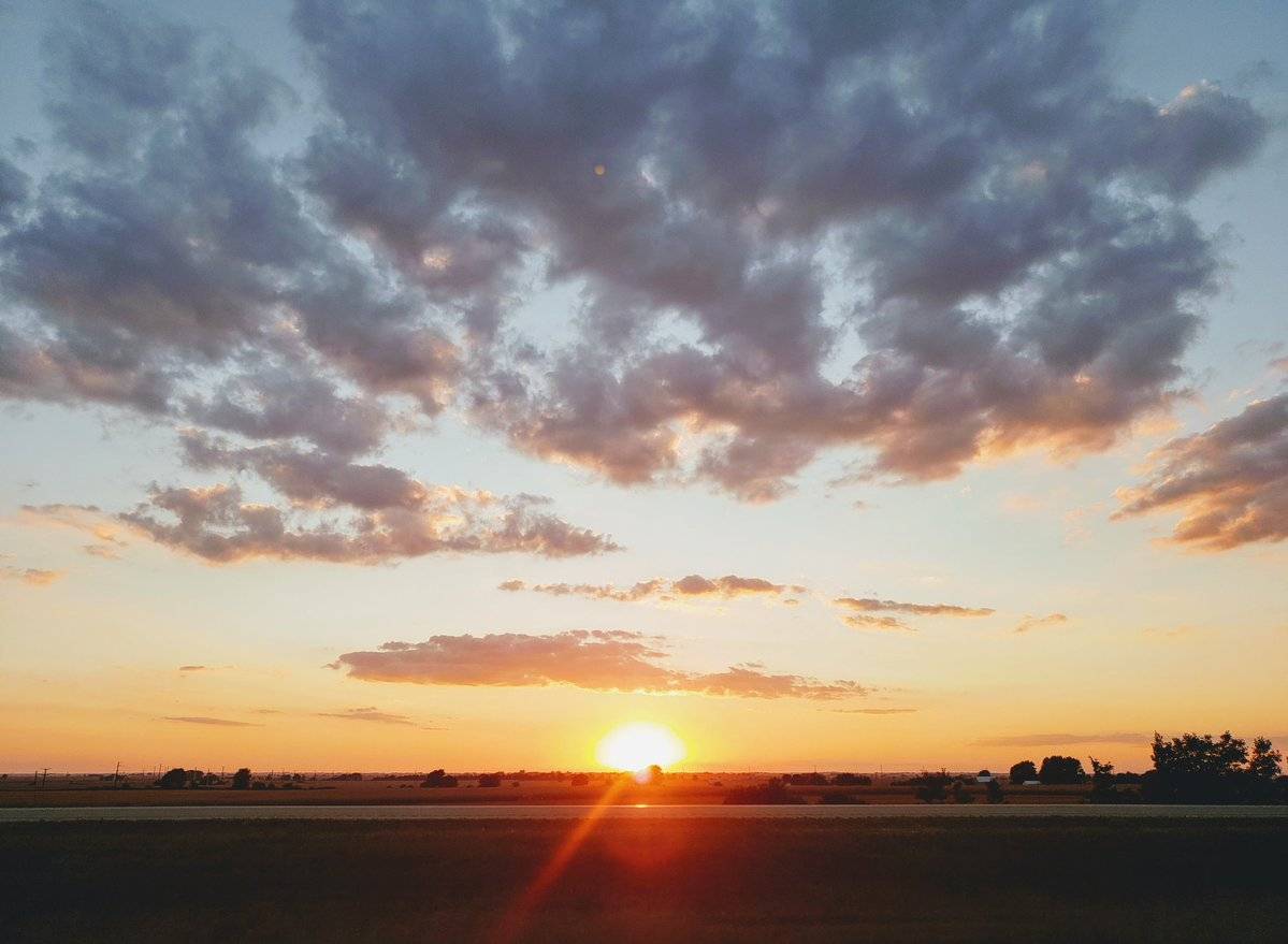
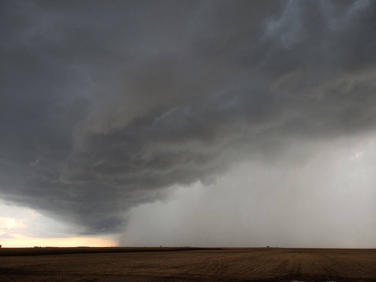
Photos by Andrew Pritchard