


The calendar continues to fly and we’re now just a few weeks away from turning the page to winter. When it comes down to it, I do love winter weather and rooting on a big impending snowstorm. But, when snow and cold temperatures arrive on Halloween, as they did in 2019, the winter season feels unbearably long by the time February rolls around. I’m happy to report that all continues to be on schedule in the local weather department, and we’ve got a very typical October to look back on.
My prediction for the month of October in Champaign-Urbana was for near-average temperatures and below average precipitation. If you just look at the numbers, it wasn’t a terrible call. October 2020 finished with an average temperature of 52.5 degrees, 1.4 degrees cooler than average. Total precipitation for the month was 2.59″, which was 0.67″ below the monthly average. So slightly cooler, and a little drier than average is how October 2020 goes into the record books in C-U.
If you look into the details a bit deeper, the pattern did shift in a way that I didn’t see coming. It was this line from my October prediction that became problematic: “My bet is we see a lot more sunshine and pleasant weather in Central Illinois this month.”
Perhaps you’ve already mentally moved on, given the sunny and mild start to the month of November, but October closed on a very cloudy, very gloomy note.
While total daily precipitation was often light, rain or drizzle was reported on 12 of the final 18 days of the month with cloudy skies refusing to part. So, I’d give myself a passing grade for the idea that October would close on mostly cooler note (from October 15-31, only two days were warmer-than-average) but quiet and dry don’t fit the bill.
We began October on a mild note, seeing high temperatures in the 80s from October 7-11. Even though the temperature pattern shifted cooler mid-month, we still saw high temperatures climb into the 80s a pair of times on October 14th and 22nd. With the flip to a cooler pattern came our first frost of the season on October 16th, very close to our seasonal average. Of course, it is very Central Illinois of us to experience our first frost just two days after we saw a high of 80 degrees.
As mentioned above, precipitation was a frequent, but often a light visitor to the Twin Cities in October. Quick-moving disturbances swept out of the Canadian Prairie into the Midwest through the last half of October. Each of these storm systems brought a cold front with it bringing a reinforcing shot of cool, dry air. These fronts would try to kick up rain showers ahead of them, but tapping into dry air on the heels of the front that passed through just a few days prior, precipitation was often very light. That’s how we end up with an autumnal temperature rollercoaster, and a lot of cloudy days that just look like it’s about to rain. Of those 12 days with rain in the last half of October, none of which produced more than 0.29″.
November has started mild, and it looks to hold onto a mild bias into mid-month. It’s been a bit tricky to get a handle on the upcoming weather pattern 3-4 weeks down the road, but that’s typical for this transitional time of year. For now, it looks like cold air will at times try to impose its way into the Midwest, but my guess is the coldest air stays in the Rockies and Dakotas in November. That being said, it also appears we’ll at times find ourselves at ground zero as these incoming cold air masses battle it out with summer’s last gasp. The result would be a quick end to quiet and sunny conditions in Central Illinois.
All of this is to say, while I think November finishes with above-normal temperatures as a whole in Champaign-Urbana, we’ll take our shots of cold air before the month is over. Not only that, but we may find ourselves quickly transitioning away from this quiet and sunny early November pattern, to a very rainy, perhaps even stormy pattern.
La Niña will be a strong driver of weather conditions across the U.S. this winter, and that often results in a wetter season in our neck of the Midwest. I do think this will come to fruition over the next few weeks.
So, let’s call it a November 2020 that is warmer and wetter than average in Champaign-Urbana. For context, the average monthly temperature in November is 41.3 degrees (highs in the 40s/50s, lows in the 20s/30s) and the average total monthly precipitation is 3.68″.
Andrew operates Chambana Weather, where he publishes daily weather information for Champaign-Urbana and surrounding communities. He also serves as Senior Meteorologist with Nutrien Ag Solutions at Research Park, focused on domestic and international weather and its impact on agriculture.
Champaign-Urbana monthly climate statistics are courtesy of the Illinois State Water Survey.
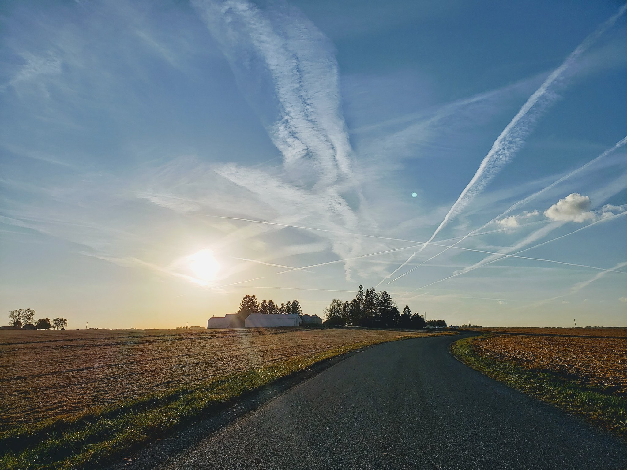
Photo by Andrew Pritchard.