


At the end of my February recap, I predicted a cold start to the month of March, but noted the possibility of a warm up during the last half of the month. This simply did not happen. The jet stream pattern that locked much of the central and eastern U.S. into a colder weather pattern in mid-February has not budged or shown any sign of weakening as we now enter the month of April. Beyond the cooler weather and very late coatings of snow here, this weather pattern has caused headaches across the country. Areas of the Mid-South (anywhere from Texas to the Carolinas) are entering planting season for corn and soybeans, and they aren’t anywhere close to being able to get their tractors out in the fields after multiple rounds of flooding rains, with more on the way. To the west, portions of southwest Kansas, Oklahoma, and the Texas Panhandle have not seen measurable rainfall since October – half a year ago! To the north, the Dakotas into Montana have been locked in with bone-chilling cold air for months.
…Exhale…
Let’s take a look back at the month of March in Champaign-Urbana, and then look ahead for any sign of the Spring light at the end of the tunnel.
As I started to say before derailing on a “this widespread headache causing weather pattern won’t leave us alone!” tangent, the month of March was expected to start cold. And it did. I also mentioned a possible flip to a warmer weather pattern in late March, bringing our monthly average temperature close to normal. That didn’t happen. March finishes with an average temperature of 37.6-degrees, which is 2.3-degrees below the average of 40-degrees.
Precipitation was expected to be near-or-just-above-average with a relatively active weather pattern continuing throughout the month. For this part, I was spot-on. Near-weekly storm systems brought March to a final monthly total of 2.98” of precipitation, which is just 0.12” above the average for the month.
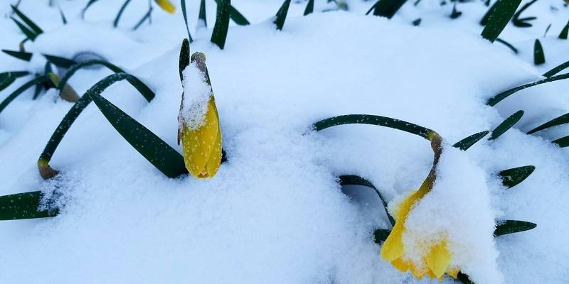
I mentioned in my February article that March would likely start off as feeling “annoyingly chilly”. It did just that – and then never let up. In fact, from March 7th to March 26th, only two days finished with temperatures above-normal. 18 of the 20 days during that stretch finished colder than normal. Any pre-spring warmth was nowhere to be found, as we never once saw temperatures above 60-degrees.
Precipitation was a regular visitor in our area, as promised. The 2.98” that fell during the month of March was spread out over many smaller events, with the highest single-day total coming on March 24th when 0.74” of liquid precipitation fell in Champaign-Urbana, with a little less than an inch of snow falling on that date as well. We did hit our monthly average for snowfall in the twin cities, finishing with 2.8” of snow, just above our March average of 2.6”.
Looking ahead – is Spring anywhere to be found? My blunt answer is – not really. Does that mean it isn’t a slight pattern shift away? Absolutely not! It’s just that, finding that pattern shift in the long-range weather models hasn’t happened yet. It sounds simple. We need the current jet stream alignment to shift west or east by 500 miles. It doesn’t matter which direction – it just needs to shift. And until it does that, we’re stuck like this.
The very stubborn jet stream alignment that has keep the Midwest locked in a cooler, wet weather pattern looks to remain for at least the first two weeks of April. I’m giving you an as-of-this-second opinion as I peruse the long-range weather models over my morning coffee and I can say that maybe, -maybe- around mid-April we see this weather pattern break down and begin to moderate as far as our temperatures are concerned. The problem is, the long-range weather models have wanted to shift back to a more typical weather pattern and haven’t been afraid to predict warmer weather in our region in the 2-3 week time frame (i.e. when I was writing my March forecast calling for late March warmth) but it ultimately doesn’t end up happening and we remain cold and the weather models kick the warm-weather can another two weeks down the road. So until then, it’s hard to believe anything more than two weeks down the road, so expect the first 10-14 days of April to mostly be colder-than-average perhaps with another appearance or two of April snowflakes.
I don’t like it any more than you do. My call for the month of April – temperatures finish below average, with a near-or-just-above average finish for precipitation including one or two additional chances for at least minor accumulating snow.
Andrew operates Chambana Weather, where he publishes daily weather information for Champaign-Urbana and surrounding communities. He is also an agricultural meteorologist with Agrible, Inc. at Research Park, focused on domestic and international weather and its impact on ag.
Champaign-Urbana monthly climate statistics are courtesy of the Illinois State Water Survey.
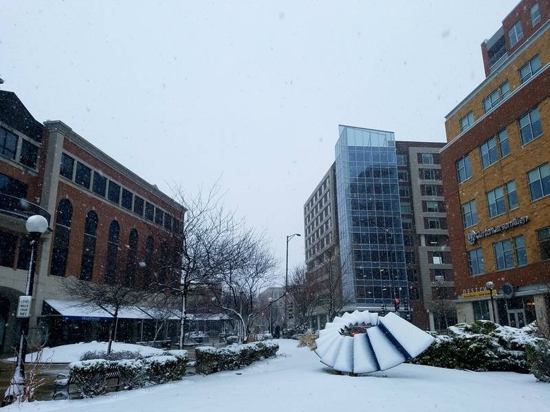
Photos by Andrew Pritchard