


As we turn the calendar to September, we close the book on meteorological summer in 2020. What a blur! August often comes with a mixed bag as we begin to transition seasons, and this year was no different. We saw our first taste of autumnal air with overnight low temperatures in the 50s, but summer heat was still there to be had with five days of 90-degree temperatures. August finished exceptionally dry, but we were visited by a historic severe storm mid-month.
With a variety of temperature offerings, August comes in just a tick cooler than average. Our average temperature was 73.2 degrees, just 0.2 degrees cooler than average. We experienced five days with temperatures above 90 degrees, but that was mixed in between 10 days with overnight lows in the chilly 50s. At the end of the day, I’ll give myself a passing grade for my beginning of the month prediction for “a lot of days with highs in the 80s (19 of 31 days) and lows in the 60s (18 of 31 days).”
I came up on the dry side with my precipitation prediction, however. I tried to split the difference between a transition to a stormy pattern and late-summer drought and the drought one. Instead of a near-average month of precipitation as I’d anticipated (or perhaps hoped for, for the sake of our farmer friends), we were historically dry with only 1.36″ of precipitation, well below our typical August total of 3.93″, a deficit of 2.57″.
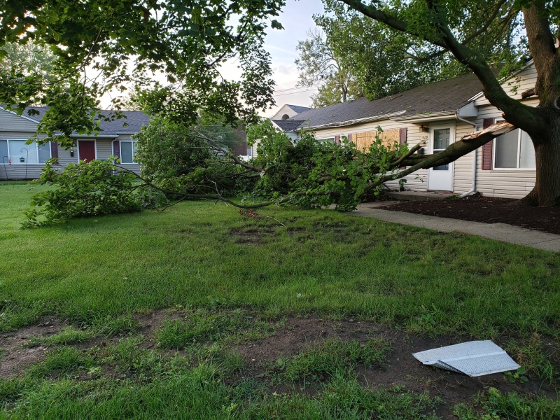
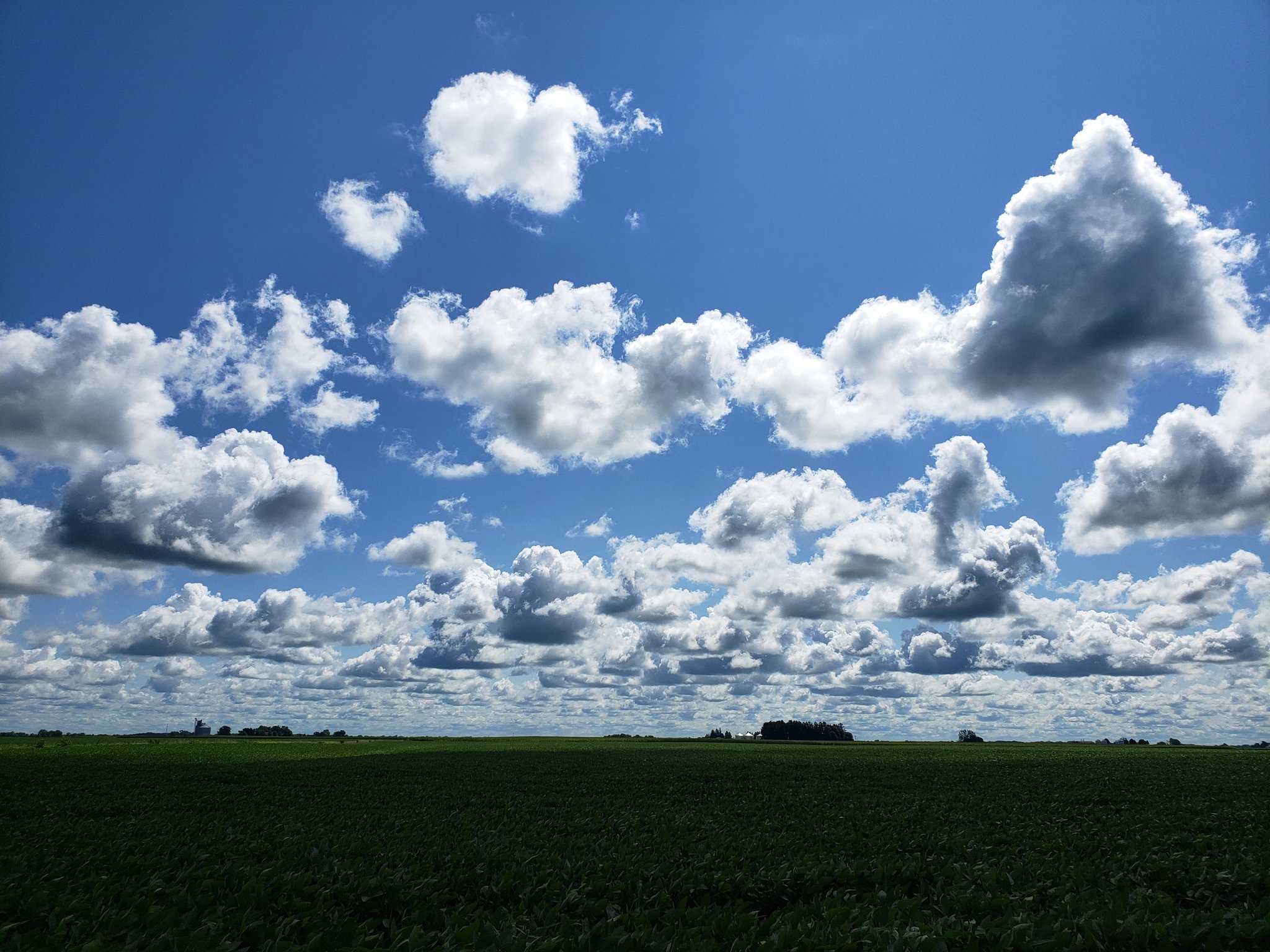
Photo by Andrew Pritchard.
Even with dry weather, we saw a severe windstorm blast across the northern half of Illinois on August 10th. These storms originated in the state of Iowa where they produced winds of 100 to 140 mph in and around Cedar Rapids, shredding their dense urban tree canopy that resembles our own here in Champaign-Urbana. The storms continue to produce damaging wind gusts as they quickly moved across northern and central Illinois, producing a corridor of tree damage through southeast Urbana around 5 PM that evening. We call these exceptionally strong, and long-lived damaging wind producing storms derechos. This is one that we’ll be studying for years in the meteorological community.
Other than 0.01″ of rain that was spit from the clouds on August 28th, that was the last measurable rainfall in Champaign-Urbana.
Is their hope on the horizon? Maybe, but I’m nervous. A large storm system will drop into the central U.S. early next week bringing cold temperatures to Colorado and surrounding portions of the Central Plains. We may be hearing about an early snow in the Denver area next week. The storm system had originally shown hope for a soaking rain across Illinois and surrounding portions of the Corn Belt that badly need it. The trend however has been for the heavier rains to shift north of our area.
September is a finicky month for long-range prediction as numerous atmospheric giants battle for control as we transition seasons. As I peer into my own crystal ball, I get the feeling that the theme of the month will be periods of warmth followed by reinforcing shots of cool/dry air. I think we’ll mostly be protected from temperature extremes this month — meaning I don’t anticipate an early frost or an extended run of excessive heat.
Much like we’ve seen over the last few days of August and first couple of days in September. I’m going to call for another near-average month for temperatures in Champaign-Urbana, which should equate to a month that has us spending a lot of days with temperatures in the 70s/low 80s and overnight lows increasingly in the 50s and 60s. Muggy summer overnights with temperatures in the 70s should mostly leave us alone.
Precipitation is harder to call. The good news is we’ll have our chances for rain. With an active pattern that is sending shots of cool and dry air into our region, we’ll see a chance for at least scattered precipitation along each cold front as it sweeps through. The bad news is, a pattern that is consistently sending cool and dry air into our area is not a pattern that favors soaking rains. If we’re going to get a big drought-busting rain in east-central Illinois in September it will be the result of something that simply is not showing up in any of the long-range weather models. A cold front that stalls out across our area, bringing a few days of rain opportunities, perhaps, would do the trick! There’s a saying in weather, “all signals fall in times of drought”. For all these reasons, I have to go with a continuance of this dry pattern and call for a below-average month of precipitation in Champaign-Urbana.
For context, the average temperature for September in C-U is 66.2 and the average monthly precipitation is 3.13″.
Andrew operates Chambana Weather, where he publishes daily weather information for Champaign-Urbana and surrounding communities. He also serves as Senior Meteorologist with Nutrien Ag Solutions at Research Park, focused on domestic and international weather and its impact on agriculture.
Champaign-Urbana monthly climate statistics are courtesy of the Illinois State Water Survey.